You have not yet added any article to your bookmarks!
Join 10k+ people to get notified about new posts, news and tips.
Do not worry we don't spam!

Post by : Anis Farhan
In recent years, drones have evolved from hobbyist gadgets to essential tools in disaster response. Across Asia, where natural calamities like typhoons, earthquakes, floods, and volcanic eruptions are common, drones have emerged as fast, flexible, and cost-effective solutions to aid rescue operations. Their ability to quickly access dangerous or inaccessible areas has made them indispensable for governments, aid agencies, and local communities.
While helicopters and ground teams remain critical, drones bring a unique advantage: they can fly into tight spaces, hover over unstable terrain, and transmit high-resolution images in real time. This aerial perspective has been reshaping how rescue teams assess damage, locate survivors, and coordinate relief efforts.
One of the biggest challenges after a disaster is getting accurate, timely information. Traditional ground surveys can take days, especially when roads are blocked or infrastructure is destroyed. Drones, on the other hand, can be deployed within minutes, mapping large areas and capturing detailed images from above.
In the aftermath of the 2018 Sulawesi earthquake and tsunami in Indonesia, drones provided crucial aerial data that helped rescue teams identify collapsed buildings, blocked roads, and safe landing zones for helicopters. The images allowed emergency planners to prioritize high-risk areas and allocate resources more efficiently.
When every second counts, drones can mean the difference between life and death. Equipped with thermal imaging cameras, drones can detect body heat, making them invaluable in locating trapped survivors, even at night or in low-visibility conditions.
In flood-hit regions of Bangladesh and India, drones have been used to scan wide stretches of submerged villages where boats cannot easily navigate. By identifying where people were stranded on rooftops or small islands, they allowed rescue teams to focus their efforts and save more lives.
While drones are most commonly associated with aerial imaging, their potential for cargo delivery in disaster zones is growing. Lightweight drones can carry small but critical supplies such as medical kits, water purification tablets, and communication devices to areas cut off from ground access.
During the COVID-19 pandemic, the Philippines experimented with drones to deliver essential medicines to remote villages when lockdowns and flooded roads limited traditional transport. In mountainous Nepal, similar initiatives have shown that drones can bypass landslides and bring aid directly to isolated communities.
Asia’s diverse geography means that many disasters occur in rugged or high-altitude regions. For example, landslides in the Himalayas often block roads, trapping villagers for days. Helicopters are expensive to operate and require clear weather conditions. Drones, however, can be launched quickly, even from small clearings, and maneuver close to cliffs or over unstable slopes without risking human lives.
In Japan, rescue teams have used drones in volcanic zones, where toxic gases and unstable ground make it dangerous for humans to enter. The drones provide live video feeds and environmental sensor data, guiding teams on when and where it’s safe to proceed.
The value of drones doesn’t end once immediate rescue operations are over. Post-disaster reconstruction relies heavily on accurate mapping to assess long-term damage, plan rebuilding efforts, and monitor progress.
High-resolution drone imagery can be turned into 3D models that show the extent of destruction and highlight which buildings or infrastructure need urgent repair. In typhoon-prone areas of the Philippines, these maps have been used to design stronger, more disaster-resilient housing. In Indonesia, similar mapping projects have helped communities prepare better evacuation plans for future events.
One reason drones have become popular in Asia is affordability. Compared to deploying helicopters or satellite imaging, drones offer a far cheaper alternative with faster results. Many local NGOs and community groups have been able to purchase and operate drones without waiting for government intervention, making them a grassroots solution to disaster challenges.
Furthermore, the technology is scalable — from small, portable drones for quick assessments to larger, long-range drones capable of hours-long flights. This flexibility allows different organizations to adapt drones to their specific needs and budgets.
The effectiveness of drones in disaster response also depends on skilled operators. Across Asia, training programs are being introduced to teach local volunteers and disaster response teams how to use drones effectively.
In Vietnam, Red Cross volunteers are trained to operate drones for flood monitoring. In India’s Odisha state, known for its cyclone risk, community-led drone teams have been established to track storm surges and warn residents in advance. By empowering locals with these skills, disaster response becomes faster, more coordinated, and less dependent on outside help.
Despite their advantages, drones are not without challenges. Poor weather conditions — such as heavy rain, high winds, or thick smoke — can hinder flight. Limited battery life also restricts flight time, especially for smaller models.
There are also regulatory hurdles. Some countries require special permits for drone operations, which can delay urgent missions. Privacy concerns have also been raised, as drones can inadvertently capture images of private property or individuals. Balancing safety, legality, and urgency remains a key challenge for drone operators in disaster zones.
Technological advances are likely to make drones even more valuable in the coming years. New models with longer flight times, heavier payload capacities, and AI-powered image analysis will allow faster identification of survivors and hazards. Swarm technology — where multiple drones operate together in a coordinated network — could cover larger areas in less time.
Integration with other technologies is also on the horizon. For example, drones could work alongside autonomous boats in flood rescue missions or with satellite systems to create real-time, high-resolution disaster maps accessible to all responders.
While drone disaster response is a global trend, Asia’s combination of high disaster risk and rapid tech adoption means it is becoming a proving ground for these innovations. From local volunteers in rural villages to national disaster management agencies, the integration of drones is transforming the way the continent prepares for, responds to, and recovers from calamities.
In a region where climate change is likely to make disasters more frequent and intense, drones offer a new kind of resilience — one that comes not from bricks and mortar, but from speed, agility, and perspective.
Drone technology is not just a futuristic concept; it’s already saving lives in Asia today. From delivering medical supplies in remote Himalayan villages to mapping flood damage in Bangladesh, drones have become silent heroes of the skies. As technology advances and adoption spreads, their role in disaster response will only grow, making them an essential part of Asia’s fight against natural calamities.
This article is intended for informational purposes only and does not replace official disaster preparedness or response guidelines. Readers are advised to follow instructions from local authorities and verified emergency agencies during actual disaster situations.


Malaysia Eyes Glory at Thomas Uber Cup 2026
Aaron Chia and Thinaah lead Malaysia’s squads at Thomas and Uber Cup Finals 2026, aiming strong perf
US-Iran Peace Talks Set to Resume Next Week
New round of US-Iran talks to begin Monday as tensions remain high, with global hopes rising for dip

Rashmika’s Fierce Look in Mysaa Teaser Revealed
Rashmika Mandanna stuns fans with intense and dark avatar in Mysaa teaser, showcasing a bold and pow
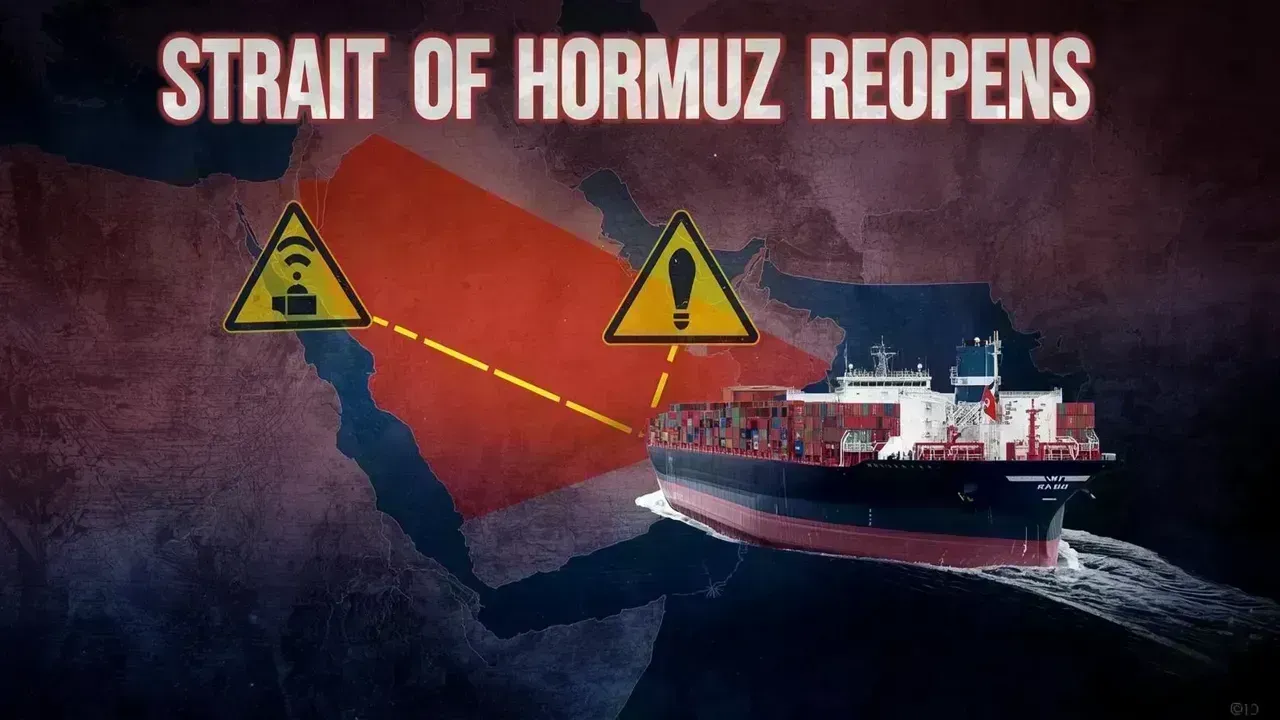
Iran's Strait of Hormuz Reopening: New Regulations Reshape Global Shipping
Iran reopens Strait of Hormuz under strict new rules, impacting global trade and energy markets sign

Manipur Violence Sparks Nationwide Concern
Rising violence in Manipur raises questions on response as civilians, including children, are report

Your Comprehensive Guide to Akshaya Tritiya 2026: Dates and Gold Buying Tips
Explore the significance, date, and ideal times for gold purchases on Akshaya Tritiya 2026, includin