
You have not yet added any article to your bookmarks!
Join 10k+ people to get notified about new posts, news and tips.
Do not worry we don't spam!
Post by : Rohit Dhiman
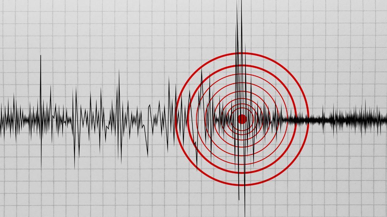
KINABATANGAN, SABAH: A weak earthquake measuring 3.3 on the Richter scale was recorded in Kuamut, Kinabatangan, in Malaysia’s Sabah state early Saturday morning, September 26. The tremor was detected at around 5:32 am, according to information released by the Malaysian Meteorological Department, MetMalaysia. The Earthquake in Sabah was recorded at a depth of 118 kilometres beneath the surface. MetMalaysia placed the epicentre at 5.1 degrees north latitude and 116.8 degrees east longitude. The location was approximately 32 kilometres southwest of Tongod in Sabah and around 223 kilometres northwest of Tarakan in North Kalimantan, Indonesia. Despite the tremor, authorities said there was no Tsunami Threat to Malaysia from the earthquake.
Following information about the earthquake, personnel from the Kinabatangan Fire and Rescue Station began patrols and monitoring activities in areas considered potentially vulnerable. A team of six firefighters started the inspection at approximately 6:26 am, less than an hour after the earthquake was reported. The team visited several locations, including premises belonging to the Sabah Economic Development Corporation, Bukit Garam Library and Bukit Garam Point. Other areas identified as requiring observation were also checked during the operation. The purpose of the inspection was to identify any possible structural damage, collapsed sections or other hazards that could have emerged following the tremor.
Although no structural damage was found, emergency personnel advised residents to remain vigilant because smaller aftershocks can sometimes follow an earthquake. Residents were encouraged to pay attention to official information and take precautions if additional tremors are felt. People living or working inside buildings are generally advised to move away from damaged structures if any signs of cracking or instability appear following an earthquake. Authorities are continuing to monitor the situation in the affected area.
One of the key points following the incident is that there is no Tsunami Warning for Malaysia. MetMalaysia confirmed that the earthquake did not pose a tsunami threat to the country. This means residents along Malaysia's coastline do not face a tsunami risk from this particular earthquake based on the department's assessment. The earthquake was relatively deep, with its focus located 118 kilometres below the Earth's surface. Its moderate depth and low magnitude were among the important details recorded by the meteorological authorities.
The epicentre was identified in the Kuamut area of Kinabatangan, Sabah.
The location was approximately:
32 kilometres southwest of Tongod, Sabah
223 kilometres northwest of Tarakan, North Kalimantan, Indonesia
118 kilometres below the Earth's surface
The coordinates provided by MetMalaysia were 5.1 degrees north latitude and 116.8 degrees east longitude. The geographical location is significant because Sabah is part of a region where seismic activity can occur from time to time.
The immediate response focused on checking buildings and locations where people could potentially be affected. Six firefighters were deployed from the Kinabatangan station shortly after the earthquake report. Their patrol included several public and commercial locations in the Bukit Garam area. The inspection was aimed at identifying visible signs of damage rather than responding to a confirmed collapse. No building collapse was discovered during the checks, and no structural damage was reported at the inspected premises. The response also allowed emergency officials to reassure residents that the initial assessment had not identified major damage.
Sabah has experienced earthquake activity on several occasions, making monitoring an important part of disaster preparedness in the state. Even relatively weak earthquakes are monitored because the effects can vary depending on the location, depth and local ground conditions. Emergency agencies also need to be prepared for possible aftershocks, particularly when residents report feeling tremors. In this case, authorities acted quickly after the early morning earthquake by sending firefighters to inspect potentially affected locations. The precautionary response is designed to identify problems before they become larger safety concerns.
Residents who feel another earthquake should remain calm and follow basic safety precautions. People inside buildings should move away from windows, glass and objects that could fall. If safe to do so, they should take cover under sturdy furniture and protect their head and neck. After the shaking stops, residents should check their surroundings for hazards and avoid entering visibly damaged buildings. People should also rely on official information rather than unverified social media reports, particularly when dealing with possible aftershocks or emergency warnings.
The latest Sabah Earthquake was classified as weak, and the initial inspection did not identify structural damage at the locations checked by firefighters. The absence of a tsunami threat also means that no tsunami-related evacuation has been reported in connection with this event. However, emergency personnel have advised residents to remain alert for possible aftershocks. Authorities will continue monitoring the situation and any further seismic activity reported in the region.
The earthquake occurred at approximately 5:32 am on Saturday in Kuamut, Kinabatangan. MetMalaysia recorded its magnitude at 3.3 on the Richter scale and placed the epicentre at a depth of 118 kilometres. The earthquake's epicentre was around 32 kilometres southwest of Tongod and 223 kilometres northwest of Tarakan in Indonesia's North Kalimantan. Following the tremor, six firefighters conducted checks at several locations in Kinabatangan. No collapses or structural damage were found during the inspection. Authorities also confirmed that the earthquake did not create a tsunami threat to Malaysia.
The earthquake was recorded at around 5:32 am on September 26 in the Kuamut area of Kinabatangan, Sabah.
The earthquake measured 3.3 on the Richter scale, according to MetMalaysia.
The earthquake occurred at a depth of approximately 118 kilometres.
No. MetMalaysia said the earthquake did not pose a tsunami threat to Malaysia.
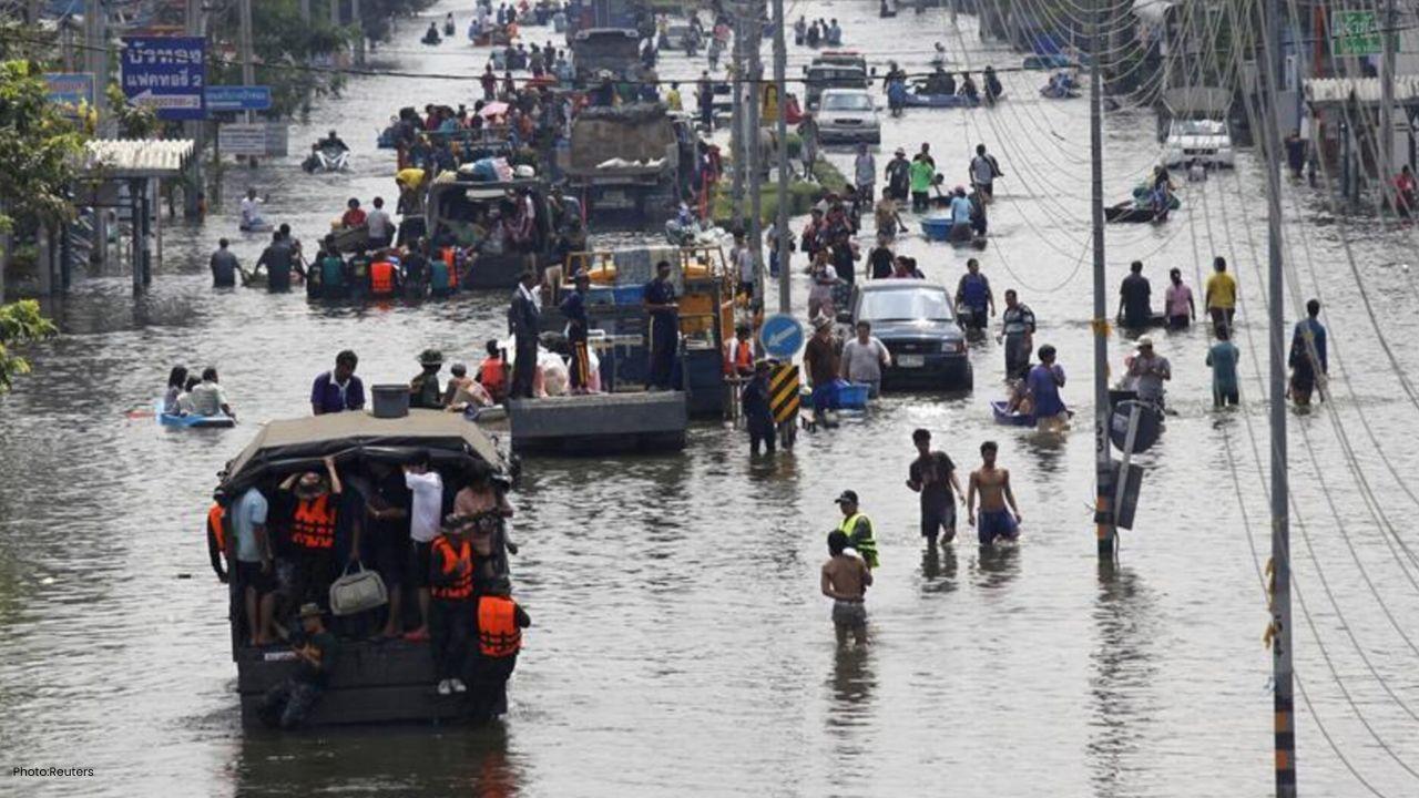
Read Also: Bangkok Flooding Turns Roads Into Rivers After Heavy Rain
Fire and rescue personnel inspected several locations and reported that there were no building collapses or structural damage at the premises checked.
Six firefighters carried out patrols and inspections at several locations, including Sedco premises, Bukit Garam Library and Bukit Garam Point.








OpenAI Says AI Agents Accidentally Posted 53 User Images Online
OpenAI says AI agents accidentally posted 53 ChatGPT user images online, raising new concerns over A

Virat Kohli Says 2027 World Cup Will Be His Last For India
Virat Kohli confirms the 2027 World Cup will be his last for India as he targets one final title bid

Weak Earthquake Hits Kinabatangan in Sabah Early Saturday Morning
A 3.3-magnitude Sabah Earthquake hit Kinabatangan early Saturday. Firefighters found no damage, whil

Europe's Biggest Leagues Demand Sweeping FIFA Reforms
Europe's top leagues demand FIFA reforms, stronger FIFA governance, stakeholder representation and c

Sri Lanka Economy Shows Resilience, But IMF Flags Growing Downside Risks
Sri Lanka economy remains resilient, but IMF warns of downside risks from energy costs, inflation an

Milne, Bracewell Return as Ravindra Misses New Zealand’s India T20 Series
New Zealand name squad for India T20 series as Rachin Ravindra misses the matches, while Adam Milne